


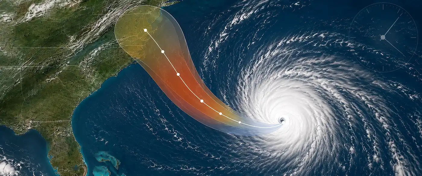

When a hurricane or tropical storm is approaching, landfall time is not the only clock that matters. Outdoor preparations can become difficult or dangerous once sustained tropical-storm-force winds begin.
Enter your ZIP code, city or town, or use your current location below. This tool uses current NHC/NWS forecast data to show when 39+ and 58+ mph sustained winds could arrive, the 5-day probability of 39+, 58+, and 74+ mph winds, and an NHC-based prep deadline for your location.
Important: This is a planning tool, not an official evacuation deadline. Always follow National Hurricane Center warnings, local emergency management instructions, and evacuation orders for your area.
The most important result is the NHC-Based Prep Deadline. It is based on the Earliest Reasonable Arrival of sustained tropical-storm-force winds, which begin at about 39 mph.
The tool also shows the Most Likely Arrival and departure timing when NHC data is available. Wind probabilities remain attached to each threshold so you can see not only when winds could arrive, but also the current chance of reaching that wind speed at your location.
Tropical-storm-force winds begin at 34 knots, or about 39 mph sustained. NHC uses the arrival time of these winds as an important planning threshold because many outdoor preparations can become difficult or dangerous once those winds begin.
The MSB Prep Deadline uses NHC’s Earliest Reasonable Arrival rather than waiting for the most likely arrival time. This is intentionally conservative. NHC describes the earliest reasonable time as the point before which there is no more than about a 10% chance that sustained tropical-storm-force winds will already have begun.
| Sustained Wind | NHC Threshold | What the Tool Shows |
|---|---|---|
| 39+ mph | 34 kt | Probability, arrival/departure timing, Prep Deadline |
| 58+ mph | 50 kt | Probability and arrival/departure timing when available |
| 74+ mph | 64 kt | Hurricane-force wind probability |
Note that these are sustained winds, not gusts.
Earliest Reasonable Arrival is the more cautious planning time. It answers, “How early could these winds reasonably begin?”
Most Likely Arrival answers a different question: “When are these winds most likely to begin if they reach my location?”
If you are deciding when outdoor hurricane preparations should be finished, the earlier time is the safer planning threshold. Waiting until the most likely time leaves less room for forecast uncertainty.
Do not use the forecast landfall time as your preparation deadline. Tropical-storm-force winds can extend far from the center of a hurricane and may reach your location many hours before the eye or center reaches the coast.
Your location can also experience damaging winds even when the storm center never passes directly over you. That is why this tool focuses on the forecast wind field at your location rather than simply displaying the predicted landfall time.
The tool uses official National Hurricane Center and National Weather Service forecast data. Storm-specific arrival and departure timing is based on NHC tropical wind timing products, while the 5-day 39+, 58+, and 74+ mph probabilities come from the NWS/NHC tropical wind probability forecast.
The tool converts the forecast to your local time and performs the countdown and duration calculations for you. Forecasts change, so always check again as a storm approaches.
Use the Prep Deadline as a reminder to finish the outdoor work that you do not want to be doing in tropical-storm-force winds. Secure loose outdoor items, fuel vehicles and generators, charge batteries and power stations, finish shopping, protect windows if necessary, and make any evacuation decision early enough to avoid being caught outside as conditions deteriorate.
For the full checklist, see my Hurricane Preparedness List: What To Do Before, During & After a Hurricane.
Read the full article here
